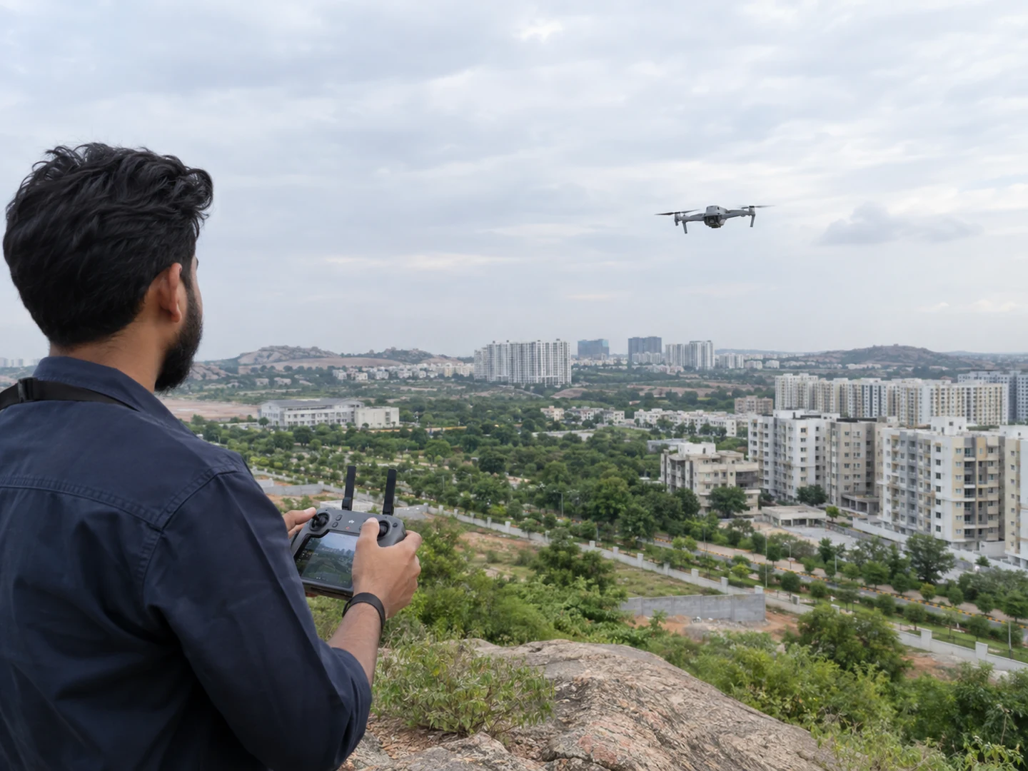
Drone footage is most useful when it explains something a ground-level camera cannot show clearly. It can connect the building to its setting, reveal the arrangement of a development, or help viewers understand an approach. A high viewpoint alone does not make the content informative; the shot needs a reason to exist.
For a Hyderabad developer, that reason should come from the project brief. A broad skyline view may introduce the area, but prospects may need a more specific answer about how the site sits within its immediate surroundings. Plan that answer before discussing dramatic movements or choosing music.
This guide covers the creative preparation for drone and aerial content: questions, shot choices, site coordination, contextual labels, and review. Operational feasibility and applicable flight requirements belong with the qualified operator.
TL;DR: Use aerial footage to explain scale, layout, and setting. Give each shot a specific question to answer, pair it with relevant ground-level coverage, and verify every location label. Confirm access and feasibility with the operator, and plan an alternative sequence so the project story does not depend entirely on a flight.
What should drone content explain about a real estate project?
Choose the information that becomes clearer from above: the relationship between buildings, the arrangement of open areas, or the site's immediate context. Define what a viewer should understand after each sequence. If the same question can be answered more clearly from ground level, an aerial shot may be decorative rather than essential.
Start with the development itself. Identify which building, phase, entrance, or space the content covers. A large site may contain multiple stages with different levels of completion. Mark those distinctions on a planning reference so the crew and editor do not treat everything visible as part of the marketed inventory.
Then consider the surroundings. Aerial footage can show nearby roads and structures, but it does not establish how long a journey takes or whether a route is publicly accessible. Keep claims about connectivity separate from visual impressions and verify any accompanying text with the project team.
Use a short purpose statement: “Show how the residential blocks relate to the central open area.” That gives the operator a clearer starting point than “capture cinematic drone shots.” Creative execution can then serve the information rather than obscure it.
Which aerial shots answer which questions?
Match the movement to the question and the site conditions. Reveals, orbits, and top-down views offer different ways to present a subject; DJI describes these as distinct filming approaches in its drone videography guidance. Use the terminology to discuss intent with the operator, who should choose a feasible execution for the location. (DJI, accessed 2026.)
| Communication question | Shot approach to discuss | Editorial caution |
|---|---|---|
| Where does the project sit? | Wide contextual view | Keep the correct project identifiable |
| How are the main elements arranged? | Elevated overview or top-down view | Avoid implying unverified boundaries |
| What does the building look like in context? | Controlled reveal | Retain enough context to orient viewers |
| How does the architecture relate across sides? | Suitable partial orbit | Confirm access and operational feasibility |
| How does the entrance relate to the site? | Approach context paired with ground footage | Do not imply an unavailable route |
Treat the table as a conversation starter, not an instruction to perform every movement. The site may make a simpler view more useful. Avoid forcing a complex manoeuvre into the brief because it looked impressive in an unrelated reference film.
For a hypothetical development, an overhead view might establish block arrangement while a ground-level sequence explains the entrance experience. Those shots answer different questions. Combining them thoughtfully can make the setting easier to understand than repeating several broad aerial views.
How do you prepare the location and operator briefing?
Give the operator accurate site information, the creative objective, and known access constraints before confirming the shoot. Include a location reference, the relevant project area, site contact details, and any activities likely to affect filming. The operator can then assess feasibility and identify the requirements that apply to the proposed operation.
Do not promise a flight based only on a developer's permission to enter the property. Access, flight feasibility, and applicable permissions are separate considerations. Let the operator explain the process and confirm what is required for that location and plan. Recheck arrangements when the schedule or intended coverage changes.
Coordinate with the site team about people, vehicles, ongoing work, and available filming areas. Explain the desired images without directing the operator to compromise their judgement. Site staff should understand who is managing the operation and how requests or concerns reach that person.
Prepare a concise briefing pack:
- The exact project location and the area covered by the assignment.
- A reference showing which structures and spaces should be identifiable.
- The approved message and proposed accompanying labels.
- The desired formats and intended uses of the footage.
- Site contacts, access arrangements, and known restrictions.
- Priority shots and alternatives if conditions change.
For the rest of the production, use the property film shoot checklist. Coordinating ground and aerial requirements together can reveal gaps in the story before either crew starts working.
How can you show context without overstating location benefits?
Describe what the footage actually establishes and verify anything added through graphics, captions, or voice-over. An aerial view can show that a road is visible near a site. It cannot prove a travel-time claim. Distance, route, access, and journey conditions require their own checking before they appear in marketing content.
Avoid drawing boundaries from visual guesswork. If a graphic needs to identify the project extent, obtain an approved reference from the responsible team and make sure the overlay represents the intended area. When exact boundaries are unnecessary, a restrained project label may provide enough orientation without suggesting greater precision.
Label construction status and phases consistently. A completed block beside an unfinished structure should not be edited to suggest uniform completion. The same principle applies to landscaping, common areas, and amenities visible from above. The broad view can reveal details that a tighter ground shot omits.
Apply a context check to every labelled frame: what is visible, what the text claims, and what a reasonable viewer might infer. If those differ, revise the wording or image. This is an editorial test, not a substitute for the project's own factual and legal review.
The project marketing brief should hold the approved facts and responsible reviewers. Keep that record available to the editor so aerial labels do not become an isolated set of assumptions.
Build a sequence that works with the rest of the film
Use aerial footage to orient the viewer, then connect it to the spaces the wider film discusses. A project introduction can move from the setting to the entrance and into the building. The transition should preserve a clear relationship between those places rather than relying on unrelated scenic shots to create an impression.
Agree whether the footage serves an opening, an explanatory section, a progress record, or a short social edit. Each use may need different coverage. A fast montage can establish mood, while an explanatory view needs enough time for viewers to identify the subject and read any label.
Ask the team to capture material with editing in mind. DJI's guidance recommends leaving room around a shot for editing and using clear movements. That principle can help the editor choose a usable starting point and ending without making the sequence feel abruptly cut. (DJI, accessed 2026.)
If vertical edits are planned, discuss framing before filming. A wide development view may lose the relevant building after cropping. Let the operator and editor recommend whether dedicated framing, a different shot, or a labelled graphic better serves the mobile version.
How should you review drone content before reusing it?
Review aerial content as project information as well as an image. Check the subject, labels, visible status, and relationship to the surrounding edit. Save approved versions with clear filenames and capture context, especially when the site is changing. A visually strong shot may become outdated as construction or neighbouring conditions develop.
Keep a record of when the footage was captured and which phase it represents. When reusing it later, ask whether its original purpose still matches the new message. Material created to document an earlier stage should not silently become evidence of current conditions on a project page.
Agree delivery and usage arrangements before production. Confirm whether the assignment includes selected clips, edited films, raw material, or later adaptations. Also identify who keeps the approved footage and who decides when it needs replacing. This avoids treating the file handover as the end of content stewardship.
For social distribution, choose clips based on their informational role. An aerial reveal might introduce the setting, while a separate interior edit answers a layout question. The social content planning guide explains how these assets can form a useful sequence.
Frequently asked questions
Aerial filming decisions depend on the site's conditions, the communication objective, and the operator's assessment. There is no universal requirement to include drone footage in every project film. These answers help clarify the creative choices before the operational details are confirmed with the people responsible for the shoot.
Does every property film need aerial footage?
No. Use aerial footage when it makes the setting, scale, or arrangement easier to understand. A film focused on interior planning or material details may work well with ground-level coverage. Start with the viewer's question and let that determine whether an aerial perspective contributes something useful.
Can aerial footage prove travel times to nearby destinations?
No. A view can establish visual context, but it does not verify journey duration or the route a visitor can take. Check travel-related claims separately and approve the wording before publication. If the content only needs to identify the location, avoid adding unsupported time estimates.
What happens if the planned flight cannot take place?
Use the alternative agreed during planning or revise the schedule with the production team. Ground-level exteriors, arrival sequences, and approved location graphics may support the story, depending on the brief. Do not replace missing project coverage with unrelated aerial footage that viewers could mistake for the actual development.
Start with the question, then plan the view
Before commissioning aerial content, write down what viewers need to understand from above. Identify the subject, supporting facts, intended formats, and review owner. Give that information to the operator and production team so they can recommend a suitable approach and confirm feasibility.
The goal is a view that makes the project easier to understand. Clear context, accurate labels, and an intentional connection to ground-level footage matter more than including every available camera movement. Build those decisions into the brief, and judge the finished sequence by whether it answers the question you started with.